
Lost in a maze of corridors ? How visioglobe’s interactive indoor maps can guide you ?
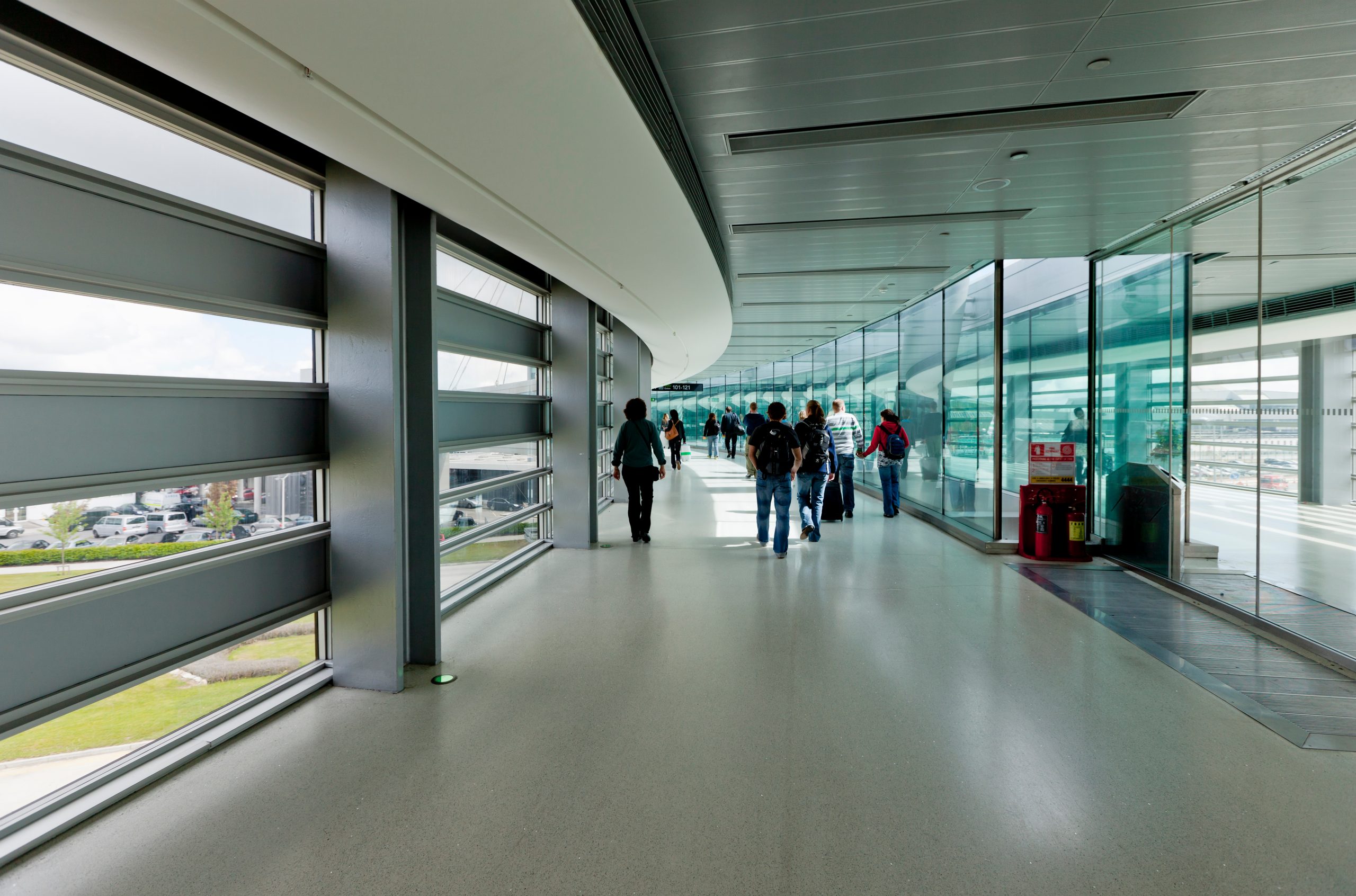
Finding your way through a sprawling airport, hospital or shopping mall can quickly become frustrating when corridors look identical and directional signs become difficult to follow. Traditional GPS navigation offers little assistance once satellite signals weaken inside large buildings. Interactive indoor maps address this problem by transforming complex floor plans into clear, searchable routes, helping visitors locate entrances, change floors and reach their destinations without unnecessary detours.
Why familiar navigation methods fail indoors
Finding a destination inside a large building often requires more than following directional signs. Airports connect terminals through multiple passageways, hospitals distribute departments across different wings, and shopping centres combine several floors with entrances that may look remarkably similar. Visitors must constantly interpret their surroundings, identify landmarks and decide whether they are moving in the right direction. The problem becomes especially frustrating when signs provide only partial information, such as the general location of a department without indicating the appropriate elevator or connecting corridor. Even a short wrong turn can create considerable confusion when the building contains restricted areas, dead ends or identical stairwells. Unlike outdoor navigation, where street names and recognisable landmarks help establish orientation, enclosed environments frequently provide few reliable reference points.
These difficulties have measurable consequences for visitors, particularly in healthcare facilities where arriving late can disrupt appointments and increase anxiety. A study involving 928 hospital patients and visitors at Vítkovice Hospital in the Czech Republic found that roughly two-thirds believed newcomers could experience serious difficulties finding their way around. Published in 2021, the research also identified age as an important factor influencing navigation preferences, with older respondents generally showing less enthusiasm for smartphone-based solutions. Such findings illustrate why digital guidance must remain straightforward and complement traditional signage rather than replace it entirely. Conventional GPS technology creates another obstacle because building materials interfere with satellite reception, while standard outdoor maps lack the detailed floor-level information needed for reliable indoor directions. Solving these problems requires navigation systems specifically designed around the internal structure of buildings.
Interactive maps turn corridors into clear routes
Interactive indoor mapping replaces the limitations of static directories with digital representations that visitors can explore according to their immediate needs. Instead of memorising several instructions from an information desk, someone can search for a particular destination and view the route connecting it to their current starting point. The underlying map identifies walkable corridors, entrances, staircases, elevators and connections between floors, allowing a routing system to calculate appropriate directions. Solutions such as Visioglobe : Interactive Indoor Maps & Wayfinding combine detailed 2D and 3D representations with turn-by-turn guidance, helping users understand complicated layouts through smartphones, websites or interactive kiosks. Three-dimensional visualisation becomes particularly valuable in multi-storey buildings because it clarifies how different levels connect, reducing the confusion caused by overlapping corridors on conventional floor plans. The resulting experience resembles outdoor navigation while accounting for the architectural complexity of enclosed spaces.
Imagine a visitor entering an unfamiliar hospital for an appointment on the fourth floor. Rather than searching through wall-mounted directories and following disconnected signs, the visitor can identify the department, locate the appropriate elevator and follow the indicated corridor after reaching the correct level. The same approach can accommodate accessibility requirements when the navigation system contains accurate information about step-free passages and accessible facilities. In the United States, accessible route requirements establish criteria for connections between accessible spaces, including provisions relating to ramps, elevators and circulation paths. These considerations matter because the shortest physical route may be unsuitable for wheelchair users, visitors with limited mobility or parents pushing strollers. Effective digital guidance must therefore distinguish between distance and accessibility, while keeping information about construction work, closed passages and relocated services sufficiently current to prevent misleading directions.
Airports, hospitals and malls gain practical advantages
The value of indoor navigation becomes especially clear when visitors face time constraints or unfamiliar surroundings. At airports, passengers frequently need to move between check-in counters, security checkpoints, departure gates and connecting terminals, sometimes under considerable pressure. A searchable map can help them identify the appropriate floor and avoid unnecessary movement between distant sections of the building. In hospitals, digital directions can simplify journeys to specialist departments while reducing repeated requests for assistance from reception staff. Shopping centres present a different challenge because visitors often want to locate several stores, restaurants or services during a single visit. Interactive maps make these destinations easier to identify and can clarify connections between retail levels, parking areas and building entrances. Across these environments, the central benefit is not simply shorter journeys but greater confidence when navigating unfamiliar spaces.
Getting reliable results nevertheless depends on preparation and accurate information. Before visiting a large venue, users can check whether an official interactive map is available, locate their destination and confirm which entrance offers the most convenient access. Those requiring step-free navigation should verify that accessible routes are supported rather than assuming every suggested path accommodates their needs. Building operators face additional considerations when introducing these systems, including the cost of digitising floor plans, integrating navigation interfaces, maintaining kiosks and updating route information after renovations. The initial investment must also account for ongoing maintenance, since even sophisticated guidance becomes unreliable when corridors close or departments move. Mobile connectivity and positioning infrastructure deserve attention as well, because displaying a calculated route does not automatically mean that a system can continuously detect someone’s precise indoor location. The most dependable installations combine detailed mapping, practical route selection and consistent information management.
Making every journey through a building easier
Interactive indoor maps cannot eliminate architectural complexity, but they can make unfamiliar buildings considerably easier to navigate. Accurate floor plans, accessible routes and clear visual directions reduce uncertainty at every stage of a journey. For visitors, the difference is simple: fewer wrong turns, less wasted time and greater confidence.